RE-01Real estate scoutingEcuador
Scoutbeforeyou move.
Thinking of moving to, retiring in or buying property in Ecuador? Walk the neighbourhoods first, with a local friend who plans the route, translates, drives, and introduces you to independent professionals you choose yourself.
We are a travel company, not a real estate broker, and we give no legal, tax, visa or investment advice. What we do instead
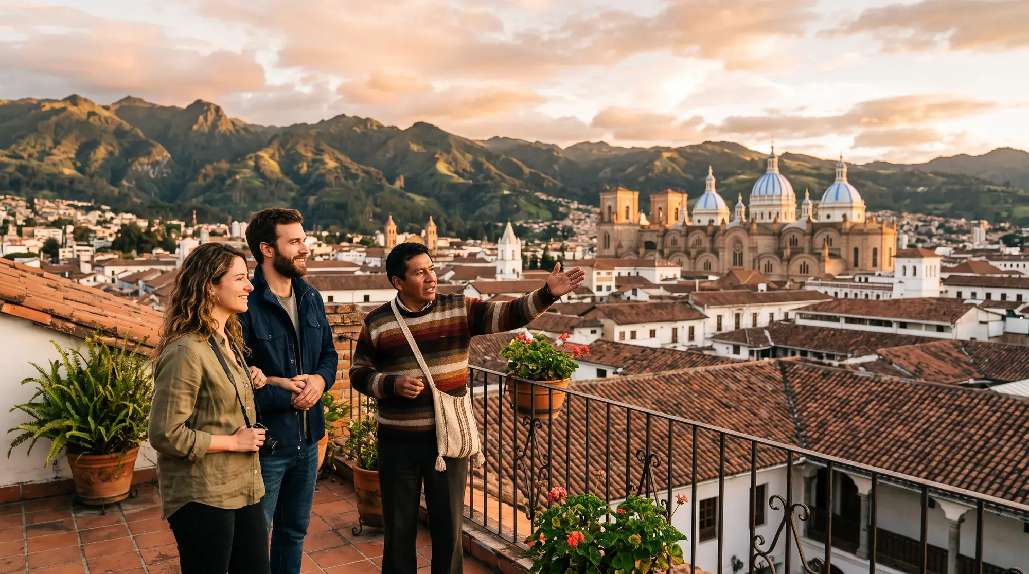
01 — Ground truth
You can’t feel a neighbourhood from a listing.
A listing is drawn from the inside: rooms, square metres, the best photo of the view. Whether you will love living there is decided outside, on the street, at seven in the morning and nine at night.
We plan the walks that answer the red questions.
02 — The survey
Five places, one sheet.
Ecuador fits the Pacific coast and the high Andes into a day’s drive. These are five places people often ask us about, surveyed on things you can check for yourself. How they feel, you find out on the ground.
| Station | Climate | Setting | Check on the ground |
|---|---|---|---|
| ST-01The coast≈ 0 m | Warm, by the sea; the seasons change the mood | Village beach, surf town, seafront city | Off-season life; distance to a hospital |
| ST-02Samborondón≈ sea level | Warm and humid, tropical | Riverside gated communities facing Guayaquil | Inside vs outside the gates; bridge traffic |
| ST-03Cuenca≈ 2,560 m | Spring-like all year, cool nights | UNESCO-listed colonial centre, four rivers | Centre vs quieter barrios; the altitude after a few days |
| ST-04Quito≈ 2,850 m | Cool and changeable, strong sun | The capital; UNESCO-listed historic centre | Hills, altitude and traffic, by neighbourhood |
| ST-05Cumbayá & Tumbaco≈ 2,400 m | Milder and sunnier than Quito | Suburban valley towns just east of Quito | Peak-hour commute to Quito; schools |
Currency at every station: the US dollar (Ecuador’s official currency since 2000). Altitudes approximate. No prices on this sheet, on purpose: ask independent professionals.
-
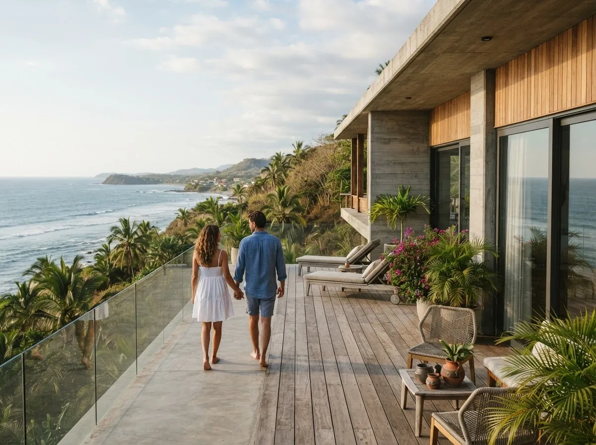 Olón ≈ 1°48′S · 80°45′W
ST-01 · Santa Elena coast≈ 0 m
The coastOlón · Montañita · Salinas
Three different coasts on the same stretch of the Pacific. Olón is a quiet village beach under green hills; Montañita, next door, is a lively surf town; Salinas, further south, is a seafront resort city of apartment towers.
Scout forA weekday out of high season, the drive to the nearest hospital and big supermarket, and how each town feels when the visitors go home.
-
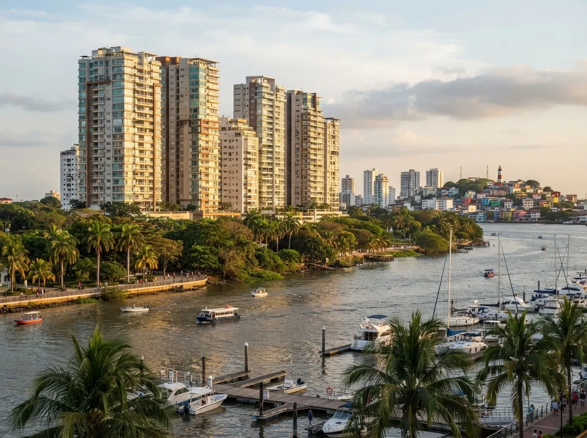 ≈ 2°08′S · 79°52′W
ST-02 · By Guayaquil≈ sea level
SamborondónRiverside, across from Guayaquil
Across the river from Guayaquil, Ecuador’s largest city: gated residential communities, schools, shopping centres and riverside walks. Warm and humid for much of the year, with the city’s services close by.
Scout forLife inside the gates versus outside them, rush hour on the bridges into Guayaquil, and the midday heat against the evening breeze.
-
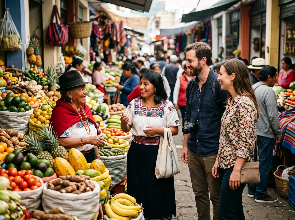 ≈ 2°54′S · 79°00′W
ST-03 · Southern Andes≈ 2,560 m
CuencaColonial centre · four rivers
A colonial centre on UNESCO’s World Heritage List, red-tile roofs, markets and four rivers running through town. The climate is spring-like all year: it changes more by the hour than by the month. Long a favourite of people retiring from abroad.
Scout forThe historic centre against quieter residential barrios, walking distances to markets and clinics, and how the altitude feels after a few days.
-
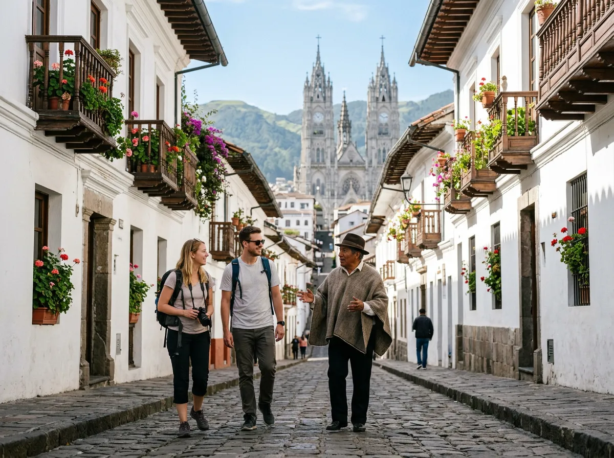 ≈ 0°13′S · 78°31′W
ST-04 · The capital≈ 2,850 m
QuitoA high Andean valley city
The capital stretches along a high valley under the Pichincha volcano: a historic centre that was among the first places on UNESCO’s World Heritage List, modern districts to the north, and weather that can do several seasons in a day.
Scout forNeighbourhood by neighbourhood: altitude, hills, traffic and the feel of a street change a lot within one city.
-
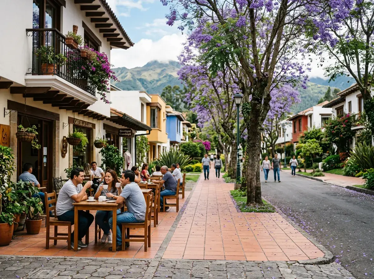 ≈ 0°12′S · 78°26′W
ST-05 · Valleys east of Quito≈ 2,400 m
Cumbayá & TumbacoThe valley next to the capital
Valley towns just east of Quito and a few hundred metres lower: generally milder and sunnier than the city, with garden streets, cafés, schools and a more suburban pace.
Scout forThe commute up to Quito at peak hours, a weekday against a weekend, and schools if they are on your list.
03 — A sample route
One week, three ways of living.
Every scouting trip is drawn from your list. This is one example: Guayaquil, Cuenca and the coast in about a week. Swap in Quito and the valleys, add days, take some out.
Guayaquil → Cuenca → Santa Elena coast
Driven, walked and translated
- 0
Day 0 · Before you fly
A conversation first
We talk through your list: what matters (schools, healthcare, community, climate, the sea or the mountains), what doesn’t, and what you are unsure about. The route is drawn from that.
- 1
Day 1 · Guayaquil
Arrive, then cross the river
We meet you at the airport and drive to Samborondón as the light softens. A first evening walk by the river and a dinner to tune the plan.
- 2
Day 2 · Samborondón & Guayaquil
The coast plain by daylight
Gated communities and the streets around them, supermarkets, a clinic or an international school if they are on your list. Feel the midday heat honestly.
- 3
Day 3 · Up the Andes
From sea level to Cuenca
The road climbs from the coastal plain through the páramo of Cajas National Park to Cuenca, at about 2,560 metres. A gentle first evening while you get used to the altitude.
- 4
Day 4 · Cuenca on foot
Centre, river, barrios
The historic centre, the riverside walks along the Tomebamba, a market morning, then quieter residential barrios at different hours of the day.
- 5
Day 5 · Cuenca, the practical day
Your list, checked
Clinics, schools, coworking spaces, a gym, a bus ride across town: whatever your list says. We ask your questions in Spanish and translate the answers.
- 6
Day 6 · Meetings you choose
Sit down with the professionals
Independent real estate agents or a lawyer, chosen by you from the options you find or we suggest. We arrange, drive and translate; they advise, you decide.
- 7
Days 7–8 · Back down to the coast
Sea level, slowly
Olón and Montañita: village life against surf-town life, and Salinas if you want the seafront city. A last walk on the beach to compare your notes, and your own survey sheet, filled in by you.
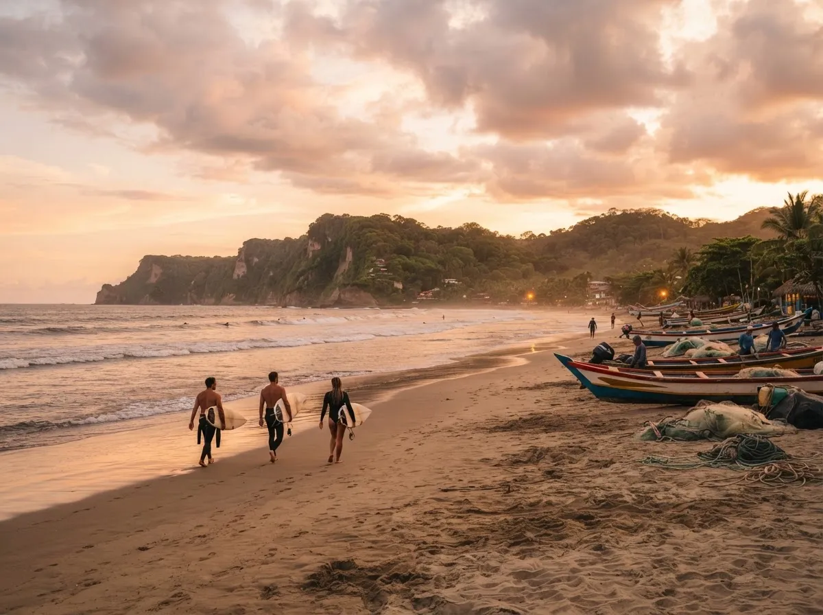
Olón at sunset · Santa Elena coast
04 — Scope of work
What we do.
What we don’t.
We do
- Show you cities and neighbourhoods with local eyes, at the hours that matter.
- Plan the scouting itinerary around your list, and adjust it as you go.
- Translate between English and Spanish: in shops, clinics, schools and meetings.
- Drive you between neighbourhoods, cities and the coast.
- Introduce you to independent local professionals, such as agents and lawyers. You choose who to meet.
We don’t
- Act as a real estate broker: we don’t list, sell or value property.
- Give legal, tax, visa or investment advice.
- Tell you what to buy or where to put your money.
- Handle contracts, deposits or payments between you and anyone else.
Think of us as your local friend on the ground. When you sit down with the professionals who do give that advice, you will have seen the place with your own eyes, understood the questions to ask, and chosen them yourself.
05 — Request a survey
Tell us where you’re thinking of.
Allyson Alemán, founder and licensed national tour guide, and her team read every request and plan the trip with you in conversation. There are no prices on this page: every scouting trip is shaped around you.